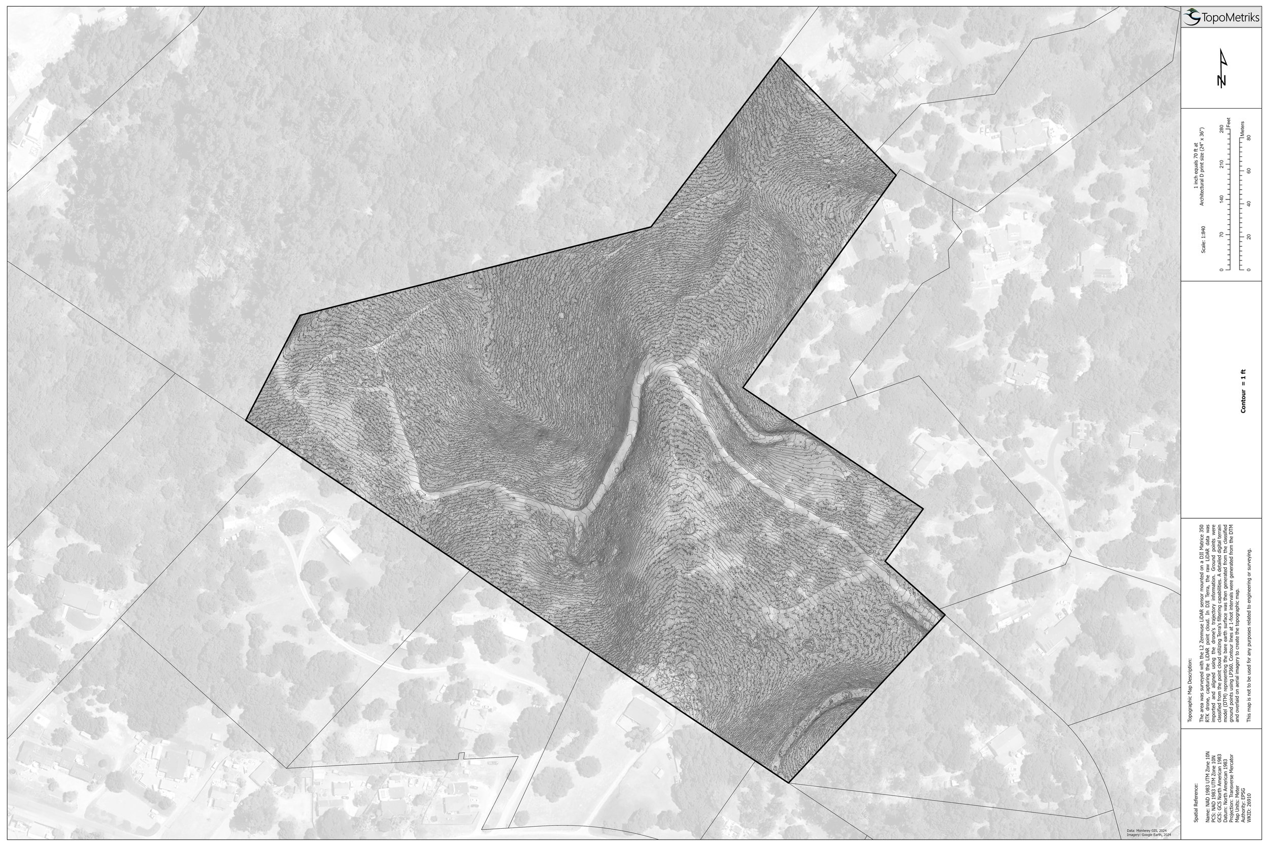
Secluded Property: Mapping for Potential Development
Located on a secluded parcel, this dream property was bought as developable land. The owner wanted to know where to put their house. The problem? It is covered in dense scrub making it impossible to topographically survey the entire property. With LiDAR, we were able to topographically map the entire 22-acre property in a single afternoon. This site was characterized by unusually dense, head-high manzanita, tall eucalyptus trees, and snaking poison oak. We were able to generate 1-foot contours across the entire parcel and deliver the client high quality topographic data for potential building areas at a fraction of the cost and time needed for traditional topographic surveys.

